Flood threat diminishing into the new work week
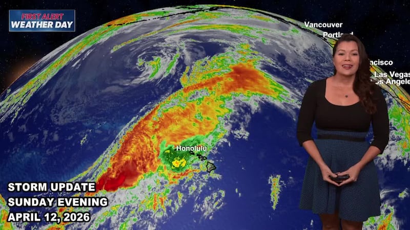
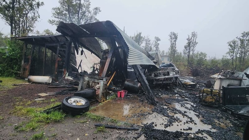
HONOLULU (HawaiiNewsNow) - After several storm systems battered the islands, there’s finally a gradual return to drier conditions around the state.
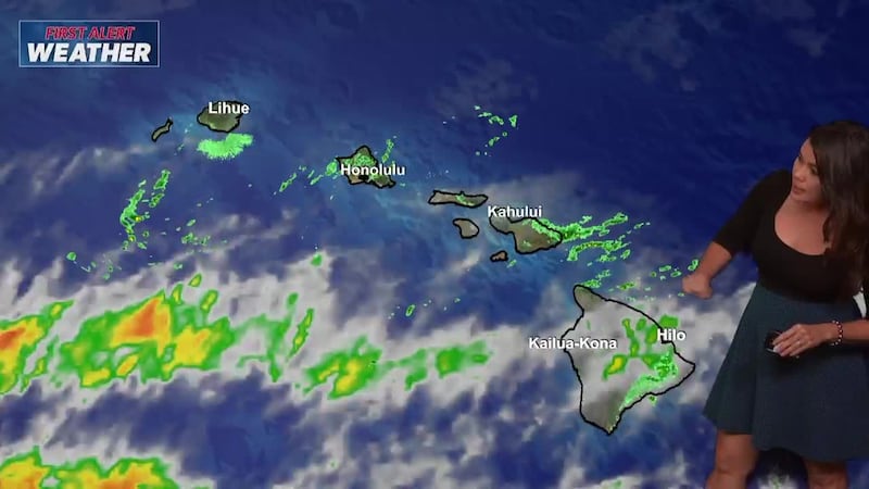
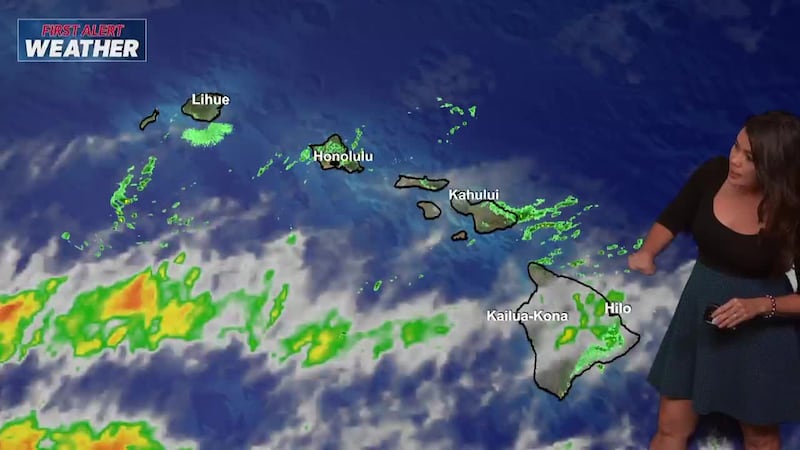
A flood watch was canceled early Monday morning. Only light to moderate showers were reported for the western end of the state.
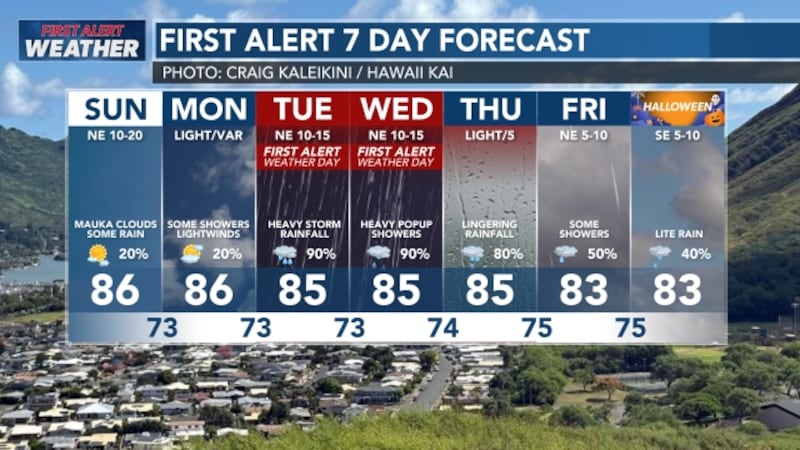
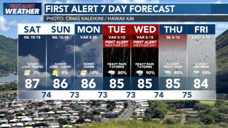
Showers are expected to diminish into Monday afternoon. Some showers may linger near and over Kauai, but most other areas will be mostly dry.
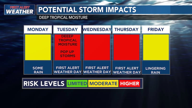
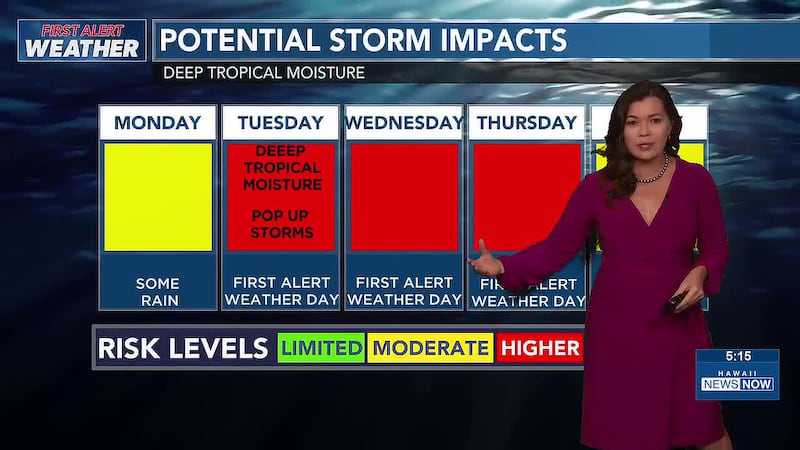
There’s still tropical moisture over the islands, and some of the showers may be locally heavy and cause minor flooding.
View all current weather alerts here.
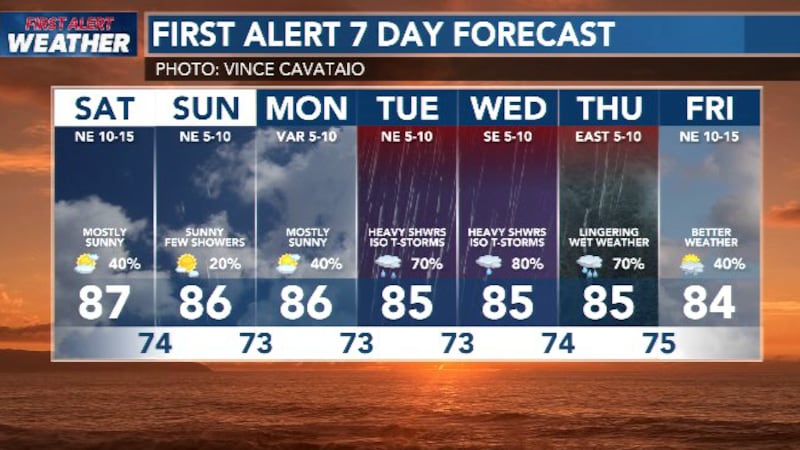
The good news is that for the first time a quite a while, there are no potential heavy rain events on the horizon. With significant new weather systems.
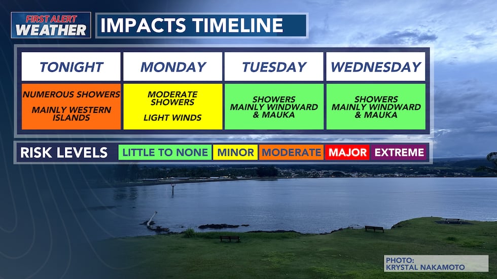
Winds are still light with the overall flow from the southwest. This means there could be some afternoon interior showers triggered by daytime heating and moisture continuing to be brought up from the south.
View the latest weather conditions here.
Download the HNN Weather app from the Apple App Store or Google Play for the latest updates from your First Alert Weather Team: chief meteorologist Jennifer Robbins, meteorologist Drew Davis, and weather anchors Guy Hagi, Ben Gutierrez, and Billy V.

Copyright 2026 Hawaii News Now. All rights reserved.