First Alert Forecast: Heavy rain to spread across Hawaii beginning Tuesday
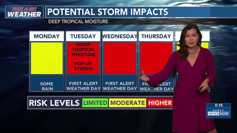
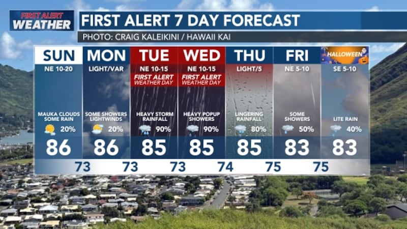
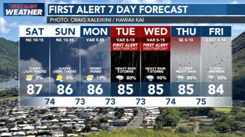
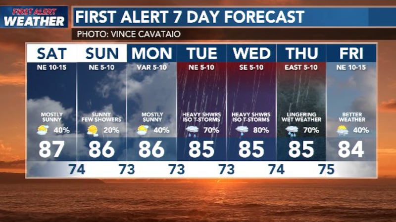
HONOLULU (HawaiiNewsNow) - We’ve got a pretty unusual and messy weather pattern headed our way this week, so you’ll definitely want to keep an eye on the skies and have an umbrella handy. String of wet days and First Alert Weather Days beginning on Tuesday.
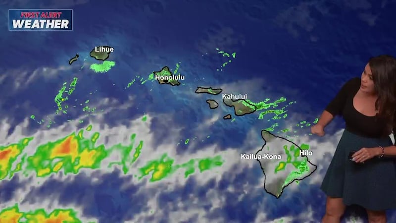
While we’re starting out with our usual trade wind showers mostly over the windward and mountain slopes, a massive plume of deep tropical moisture is moving toward the islands.
That moisture will combine with a stalled weather system right over us, bringing a high potential for heavy rain, localized flooding, and even a few isolated thunderstorms starting early Tuesday and lasting through at least Thursday or Friday.
The main trigger behind all this moisture is the remnants of Tropical Storm Olana. The good news is that Olana itself is expected to weaken back into a depression and pass well to the west of the state, so we aren’t looking at a direct tropical storm hit. However, its moisture is getting dragged right over Hawaii and trapped under a low-pressure trough.
On top of that, small low-pressure spins will be drifting across the islands over the next few days. This means our normal trade winds will break down and shift around, turning areas that are usually dry and leeward into temporary windward slopes where rain can quickly pile up against the mountains.
Because these small atmospheric features are tricky to pinpoint far in advance, the exact timing and heaviest rain spots will likely shift a bit as we get closer.
Right now, broad estimates show most areas receiving anywhere from 2 to 8 inches of rain between Tuesday and Thursday, with higher amounts over the mountains up to 12 inches.
The peak threat for the heaviest downpours looks to run from Tuesday afternoon through Wednesday afternoon, though high rain chances could easily linger into the weekend.
While widespread damaging winds aren’t expected, any thunderstorms that pop up could bring brief gusty winds and intense rainfall rates, so it’s a good time to double-check cleared drains around your home and stay cautious on wet roads.
View the latest weather conditions here.
Download the HNN Weather app from the Apple App Store or Google Play for the latest updates from your First Alert Weather Team: chief meteorologist Jennifer Robbins and weather anchors Guy Hagi, Dan Cooke, Ben Gutierrez, and Billy V.
Copyright 2026 Hawaii News Now. All rights reserved.